
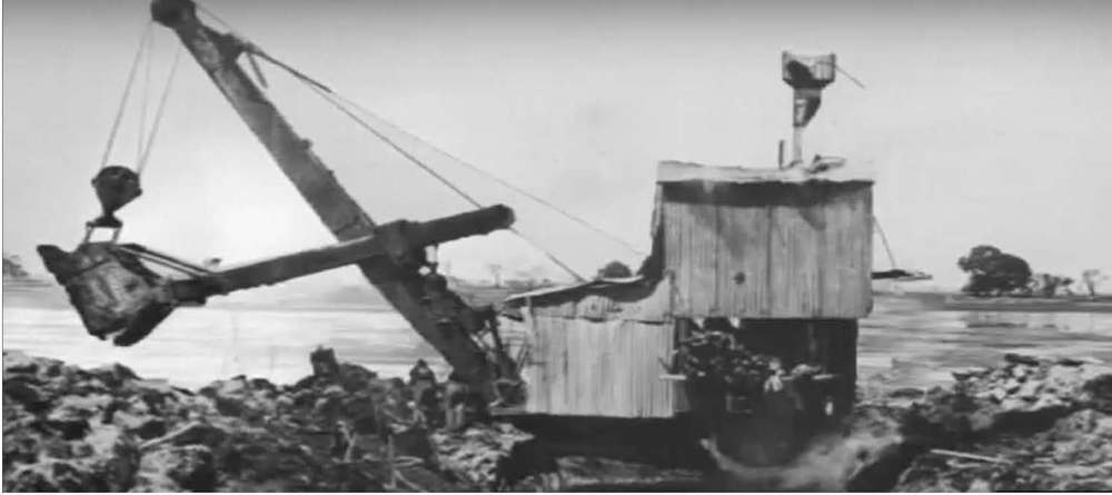
South East Drainage System

The outcome of the inspection determined it necessary to drain the swampy wetlands to improve access and double the productivity of an untapped rich agricultural land. A year later, in 1864, the first draining works began in the South East near Millicent.
Fifteen years after the first drain was dug, an unknown author wrote a letter to the Editor of the South Australian Chronicle and Weekly Mail. The letter applauds the success of the South East draining system in relieving the ‘splendid tract of country’ of the Avenue Range district, of damaging waters. This was 5 years before the Jacky White drain (1884) and the much later Drain K (1914) were dug. These new drains further facilitated settlement of the region by improving access to these parts of the South East and significantly improving agricultural productivity of the region. The drains also benefited the state by opening up more Crown land for sale and as well as enabling post-war soldier settlement in the area.
Here’s the letter published in the paper 137 years ago, on 11 January 1879.
THE SOUTH-EASTERN DISTRICT DRAINAGE.
To the Editor
Sir — Some great change in the surface overflow of swamp waters has been gradually effected during the past five to ten years. This matter now and in all future time vitally concerns this colony by adding to her enormous resources in various quarters by throwing open at once for settlement large tracts of fertile land.
The progress of this change is observable all over the swamp country at the northern end of the South-East, namely: — Cockatoo Lake, behind Mr. Brown’s head station (now Mr. Guthrie’s), on the Avenue Range; Mercullat, Tilley’s Swamp, Maria Creek, and in all directions say up to the Salt Creek, 5O miles north of Lacepede Bay, while for another 50 miles running south of the same point (Lacepede Bay) there is a splendid tract of country averaging four miles broad, or 200 square miles (above 100,000 acres), now wholly relieved from damaging waters. This country, embraces the pastoral runs of Cairn Bank, Crower, Mount Bruce (Mrs. Crowe), and Gillap. This is undoubtedly the best of the large tracts of fine country, but there are several, both north and south of Lacepede Bay, inland.
The causes of this important change in the disposition of the waters falling from the elevated tableland of Victoria—a part of the great dividing range—is an interesting subject of enquiry. Some of these causes arise from settlement, and ploughing along our borderline, &c, and no doubt the Government drainage on Avenue and Biscuit Flats, which flats extend nearly 100 miles each. — I am, &c.,
An Ardent Friend to Progress.


0 Comments